
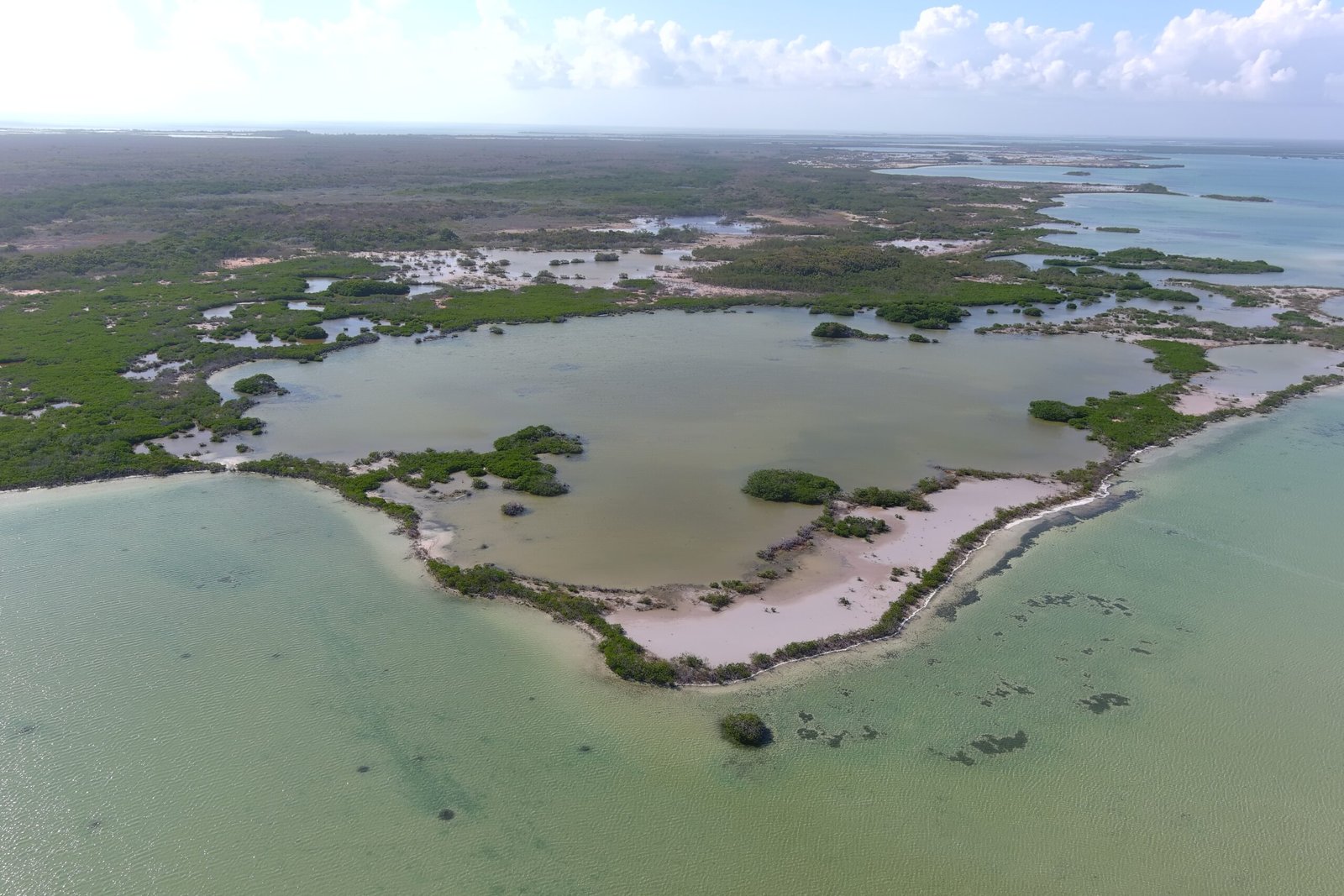
NORTHERN BELIZE • AMBERGRIS CAYE
Bacalar Chico National Park
Where the Belize Barrier Reef meets the shoreline.
Explore a landscape of mangroves, lagoons, forests, coral reefs, wildlife and cultural history.
PROTECTED • CULTURAL • MARINE
A Unique Protected Landscape
Bacalar Chico National Park is located on the northern section of Ambergris Caye, bordering Mexico.
1996
ESTABLISHED
60 km²
PARK & MARINE RESERVE
UNESCO
WORLD HERITAGE SITE
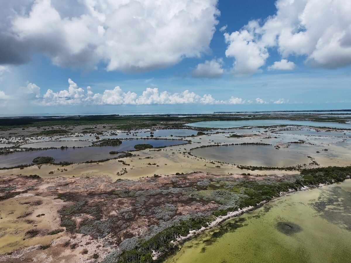
ABOUT BCNP
A Landscape Shaped by Nature & People
Bacalar Chico National Park (BCNP) is found on the northern section of Ambergris Caye, bordering Mexico.
It was set up in 1996 under the National Park Systems Act (Laws of Belize Chapter 215, Revised 2000) as a result of lobbying from local fishers from the village of Sarteneja.
The Bacalar Chico Marine Reserve (BCMR), together with the National Park and the terrestrial area of Bacalar Chico, encompasses 60 km² and includes mangroves, lagoons, sublittoral forests and coral reef habitats.
The park is also identified in the original page content as a UNESCO World Heritage site.
A UNIQUE COASTAL LANDSCAPE
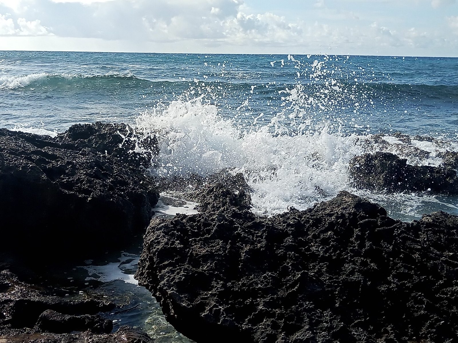
Rocky Point
The coastal reaches of the Bacalar region support many unique natural characteristics.
Rocky Point is identified in the original page content as the only location in Belize where the Belize Barrier Reef touches the shoreline.
MARINE WILDLIFE
An Important Turtle Nesting Area
The coastline from Rocky Point southwards to Robles Point has been recognized as an important marine turtle nesting area.
Loggerhead Turtles
The area supported the largest number of Loggerhead and Green Sea Turtle nests in Belize during the period described in the original page content.
Green Sea Turtles
Green Sea Turtle nesting is specifically identified as an important feature of the Bacalar region.
Hawksbill Turtles
The original page content notes periodic visits by nesting Hawksbill Turtles.
CULTURAL HISTORY
A Landscape with a Long Human History
The Bacalar region has a long history of cultural importance.
Archaeological studies conducted in the 1980s recognized that the coastal reaches of the Bacalar region once supported several trading, agricultural and fishing settlements established by the ancient Maya.
The area has also been intermittently utilized by settlers from colonial times to the present day.
A LIVING CONNECTION
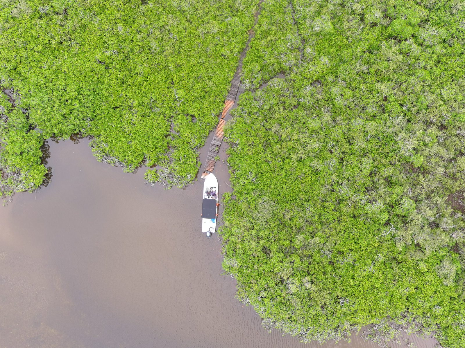
The Bacalar Chico Channel
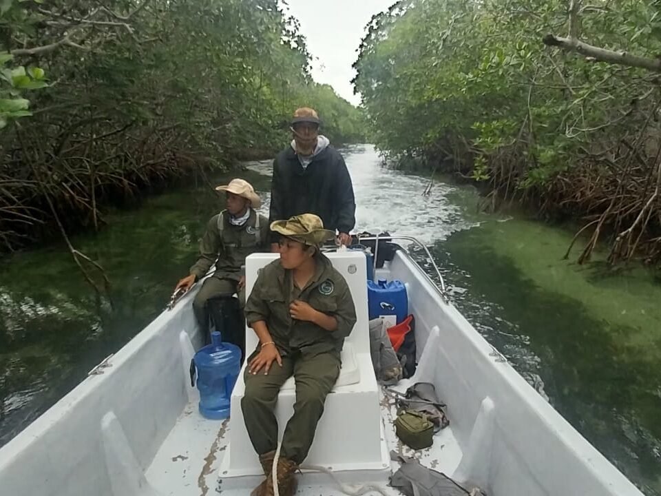
The Bacalar Chico channel provides fishers from the mainland villages of Sarteneja and Corozal access to the inner lagoon, the main barrier reef and deep waters from the western side of Ambergris Caye.
The coastal reaches are also accessible by fishers entering from Mexico in the north and from San Pedro Town in the south.
ECOSYSTEMS
A Diverse Coastal Environment
The park and marine reserve encompass a variety of interconnected habitats.
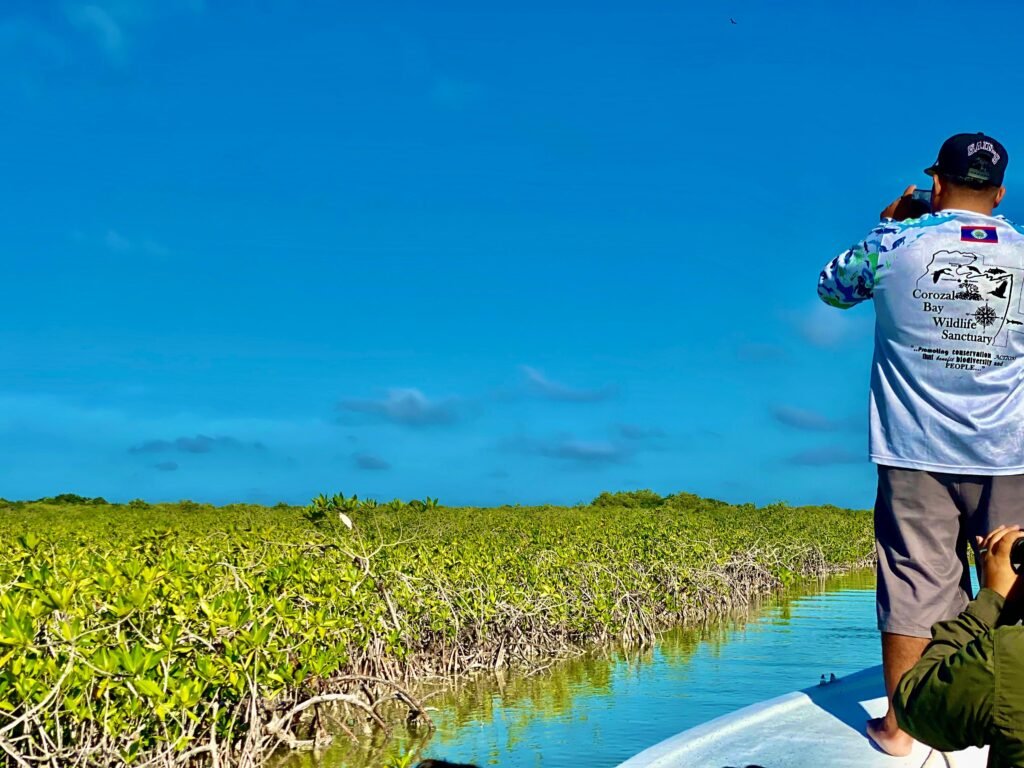
Mangroves
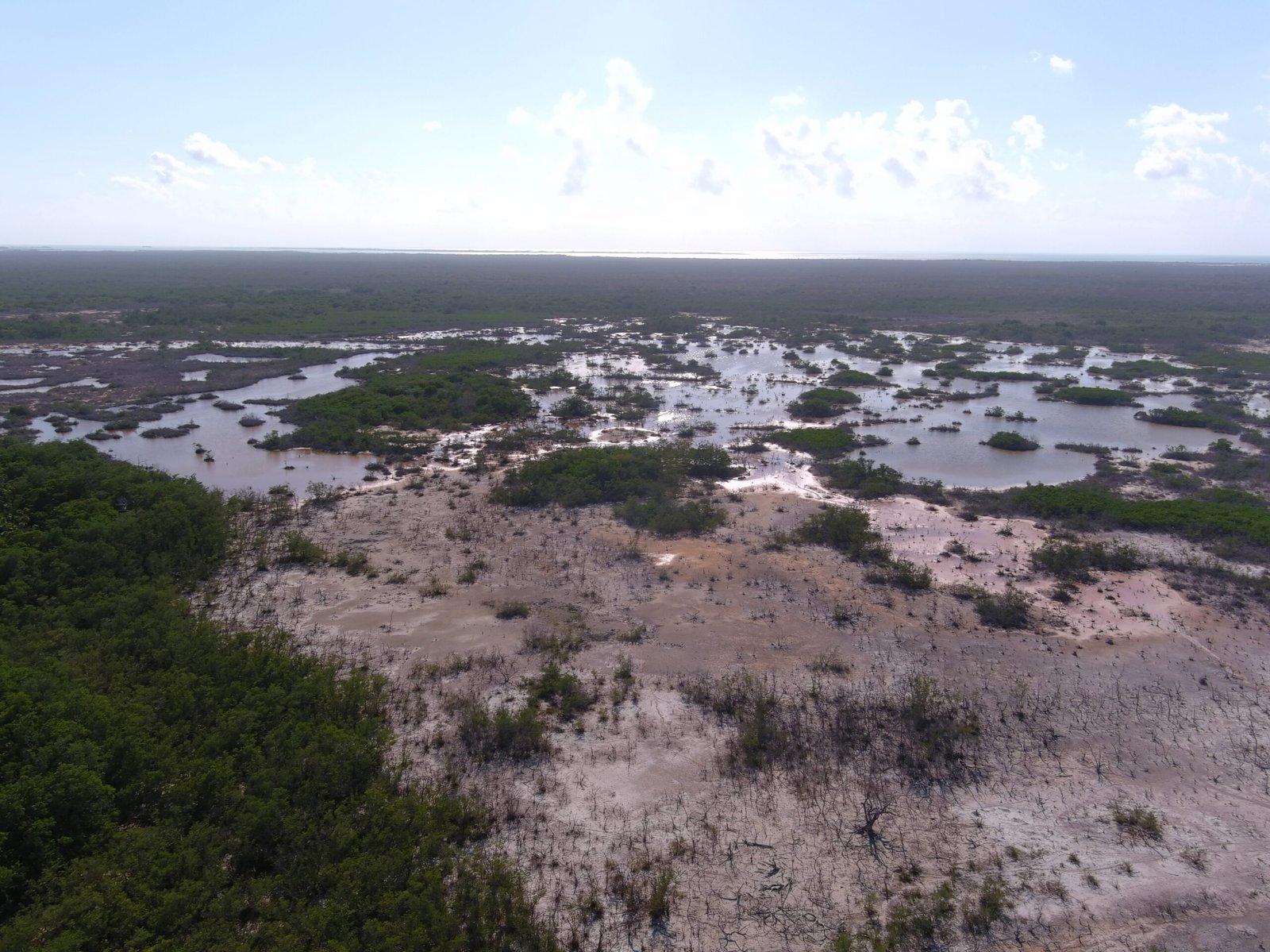
Lagoons
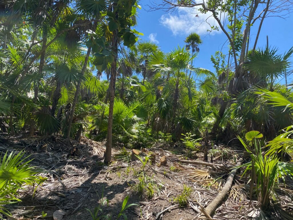
Sublittoral Forests
Coral Reefs
EXPLORE THE PARK
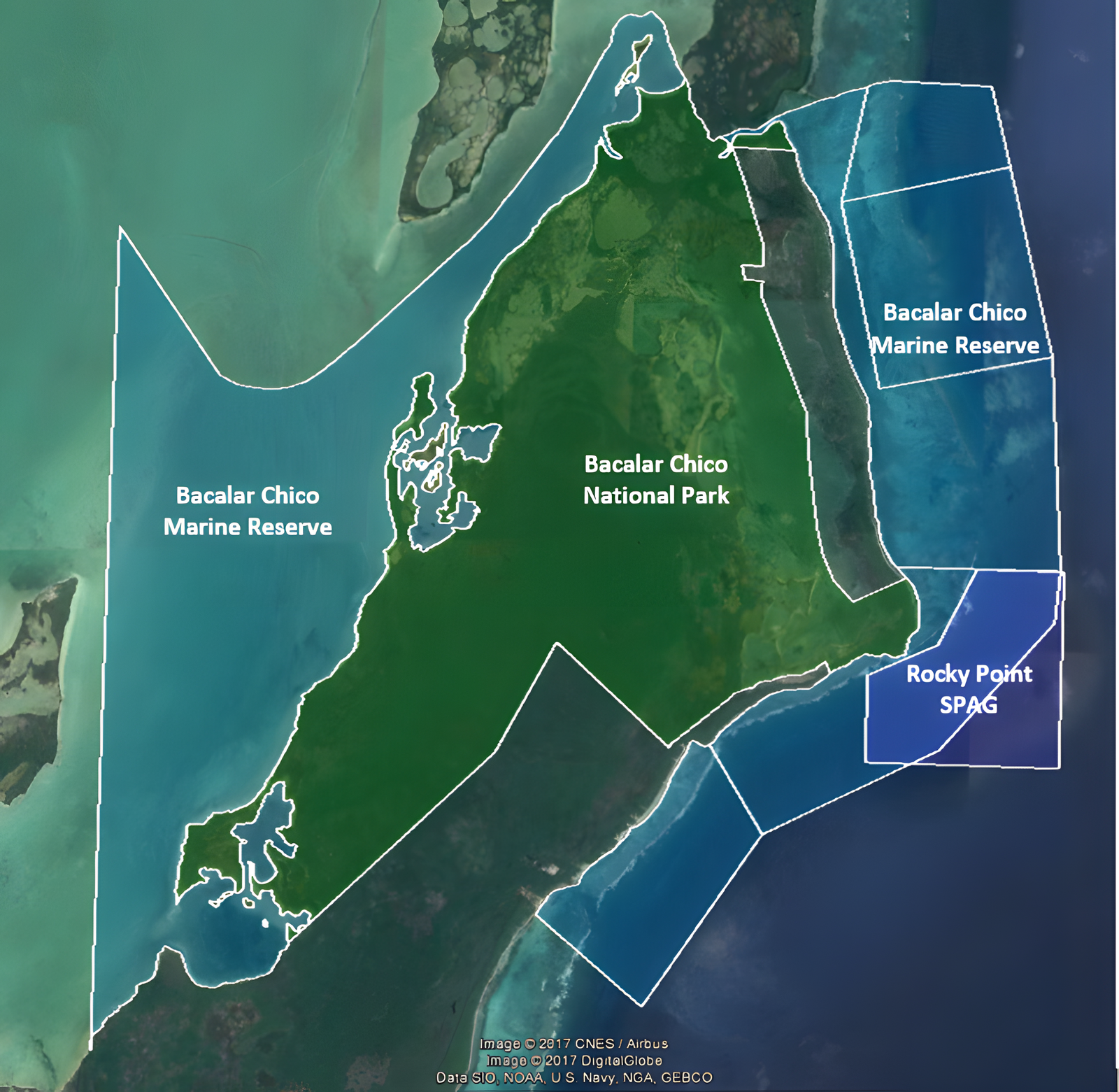
Bacalar Chico National Park Map
Use the map to visualize the location and landscape of Bacalar Chico.
DISCOVER NORTHERN BELIZE
Experience a Landscape Where Conservation & Culture Meet
Discover the protected landscapes, marine habitats and cultural history that make Bacalar Chico an important part of northern Belize.
info@sacdbelize.org • +(501) 480 1440